Drones are helping multiple sectors by capturing survey-grade aerial images and accurate site data. The drone survey data is then processed and visualised into an interactive 3D map for progress tracking, volume measurements and more.
Drones equipped with the latest Image - processing and algorithm are driving a crucial and fundamental process of Land mapping and Land survey in India which is quick, safe and accurate.
Drone Survey in India has helped many Real - Estate developers by creating an orthomosaic that is accurate and high-resolution to help developers, warehouse owners, public sector civil works, Farming, Oil & Gas refineries. With the best image processing algorithm, drone survey in India has been playing a crucial role and has helped many Real-Estate marvels get to completion.
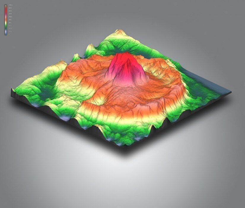
Using drones that provide highly valuable information like boundary lines, trails, flood zones, topographic contours beforehand with accuracy combining all this with best ground sampling distance makes this process highly valuable and makes data evaluations more precise.