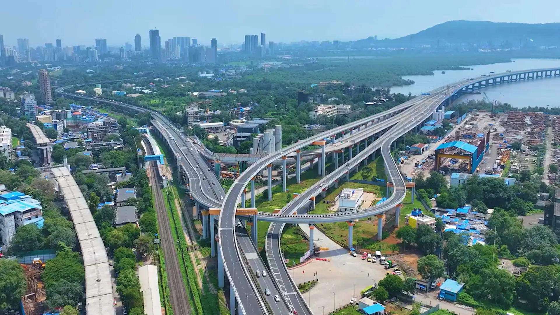
Drones are helping multiple sectors by capturing survey-grade aerial images and accurate site data. The drone survey data is then processed and visualised into an interactive 3D map for progress tracking, volume measurements and more.
Drones equipped with the latest Image - processing and algorithm are driving a crucial and fundamental process of Land mapping and Land survey in India which is quick, safe and accurate.
Using drones that provide highly valuable information like boundary lines, trails, flood zones, topographic contours beforehand with accuracy combining all this with best ground sampling distance makes this process highly valuable and makes data evaluations more precise.
From capture to clarity.
Drone Survey
Mapping & terrain
Read the land through maps and surface models.
GIS Survey
Orthophoto Generation
DSM / DEM / DTM
Contour Maps
Corridor Mapping and Indexing
Topographical Survey
Orthomosaic
Contours
Topography
3D Model
Measurement & analysis
Work with distance, area and volume.
3D Modelling
3D Volumetrics
Stockpile Analysis (Shape & Size)
Distance/Area/Volume Measurements
Cut and Fill Estimation
Rooftop Analysis
Bench/Rock Slope Extraction
Encroachment Zone Detection
Overburden Zone Detection
Planning & monitoring
Track change and plan the next move.
Haul Road Planning
Documentation
Smart City and Urban Planning
Blueprint Overlay
Landslide/Site Damage Survey
Progress Reports
Rockfall Drone Survey
Progress Forecasting
Specialist applications
Apply survey data to the needs of the site.
Archeology
Auditing
Insurance
Photogrammetry Consultancy
Agriculture
With our pan India network, survey and delivery becomes fast and easy.
What could we create together?
Tell us about your project. Let’s find its next dimension.